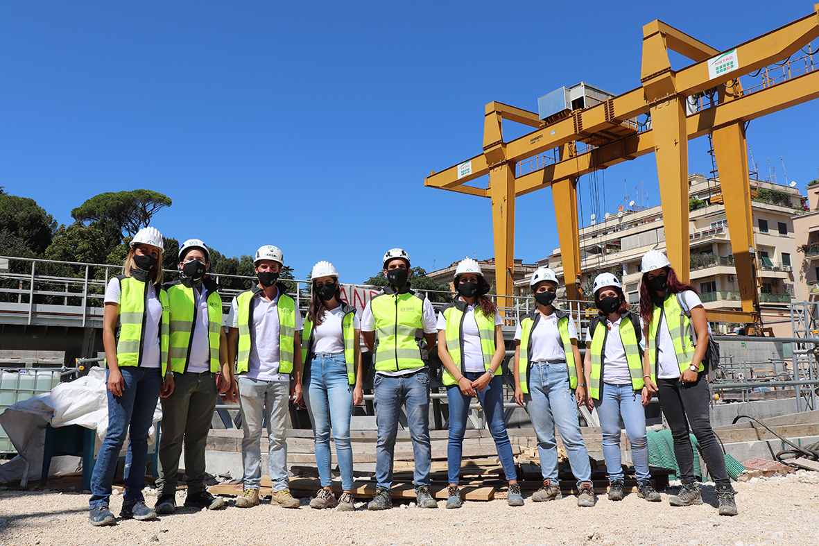
“One of the most significant and interesting aspects of a metro line in the historic center of a city like Rome is undoubtedly the interaction with the monumental and archaeological heritage,” says Eliano Romani, Head of Metro C Design. “Monitoring is a fundamental aspect because it allows us to verify the correspondence between the design hypotheses and the response of pre-existing structures that interact with the excavation of the tunnels.”
Compared to other similar manual tools, the Irpi instrument is capable of conducting measurements along the entire length of the borehole with a high degree of repeatability and frequency. The data collected through a probe are transmitted wirelessly to a surface unit and from there to a remote computer for analysis. “This equipment allows for inclinometric measurements within boreholes in a fully automatic and robotic manner to identify any deformations at different depths,” explains Paolo Allasia, a technologist at Cnr-Irpi. He emphasizes in particular that: “The surface measurement currently carried out with various instruments, from satellites to traditional topographic equipment, provides a comprehensive overview of what is happening underground, but it cannot pinpoint where and how deformation is occurring underground. This is where these types of measurements become extremely important.“


