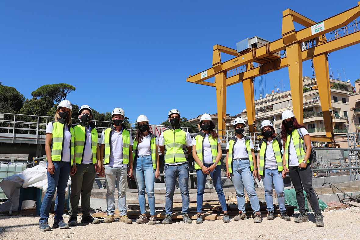
The Multifunctional Well, designated as 3.3, is situated between the Amba Aradam/Ipponio and San Giovanni stations, in proximity to an area – a garden adjacent to the historic neighborhood market of Via Sannio, on the Piazzale Appio side.
This is the well where the Tunnel Boring Machines (TBM), extracted from the San Giovanni station, were lowered and commenced tunnel excavation towards the Imperial Fora in the months of June/July 2017. The overall plan dimensions are 64.40 meters by 25.65 meters. The iron level varies between +8.940 and +9.120 meters above sea level inside the well. The structure consists of 3 horizontal levels:
- Technical Level at an elevation of +25.47 meters above sea level (completed);
- Intermediate Floor Level at an elevation of +16.54 meters above sea level (completed). This floor serves solely as a structural element to support the containment structures of the well;
- Platform Level at a variable elevation depending on the iron level, ranging from +10.007 meters above sea level on the San Giovanni side to +10.127 meters above sea level.
The excavation technique employed is of the “top-down” type, involving the construction of structures in a descending manner, thereby minimizing the impact of the construction site on the surrounding environment.
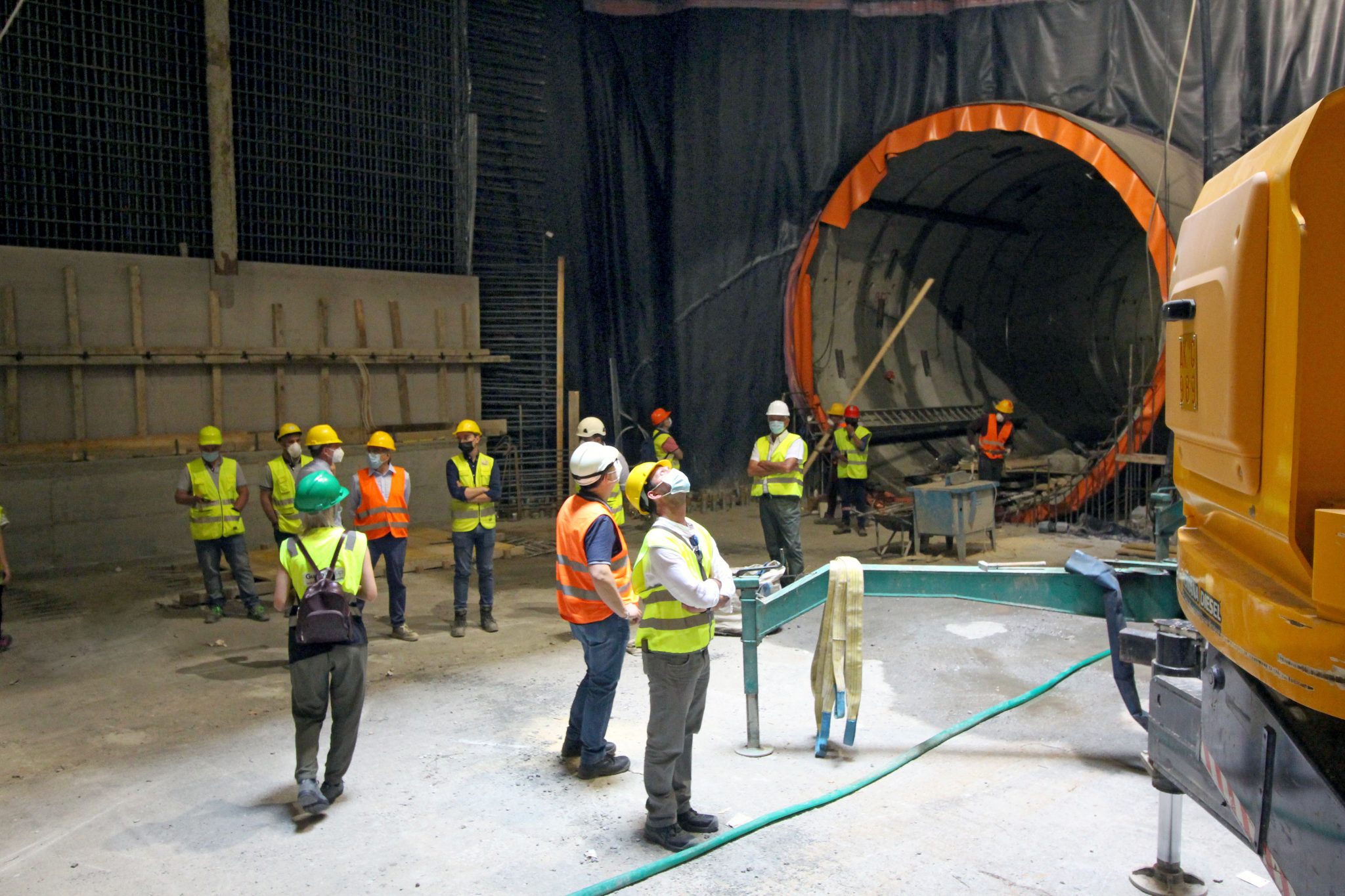
Based on the instructions received from the Archaeological Superintendent, the excavation work up to the levels involved in archaeological investigations (+18.52 meters above sea level) was carried out using an archaeological excavation method for subsequent horizontal layers. The floor slabs within the “archaeological layer” were constructed only after ensuring adequate clearance between the excavation floor and the underside of the slab. This clearance was necessary to accommodate excavation equipment and material handling. The use of prefabricated components helped avoid shoring of the horizontal layers during construction, offering advantages in terms of construction speed.
The initial functional phase of Line T3 involves the activation of Well 3.3 on Via Sannio and a new section of tracks equipped with two pairs of railway switches. These switches will enable trains to quickly and efficiently switch from one track to another, achieving what is known as “tail inversion at the San Giovanni terminus.” This will reduce the waiting time between train services. Currently, the operational line has limited use of the last four stations before the well (San Giovanni, Lodi, Pigneto, and Malatesta) because trains cannot change direction by switching tracks. Therefore, both center-bound and Monte Compatri/Pantano-bound trains share the same platform, unlike other stations where each platform is dedicated to a specific train direction.
With the addition of the cross for Well 3.3, the optimal configuration for railway operations will be achieved, allowing for simplified and rationalized signage and station usage. The project’s operating schedule calls for trains every 9 minutes, with a fleet of 9 trains in operation. Well 3.3 is the first on Line C to house, in addition to its “traditional” ventilation function, a room for ATC signaling (SER: Signalling Equipment Room). The ATC electronic systems allow for the operation of the new switches in the cross and interface with the operational line.
Progress of the Works
The construction of Well 3.3 is substantially complete. All reinforced concrete structures and interior finishing works have been finished. Currently, work is underway on the flooring, the installation of external domes, and the sewer connections. In the coming days, work will commence on the refurbishment of the surface area known as the “gardens of Via Sannio.”
Archaeological Excavations
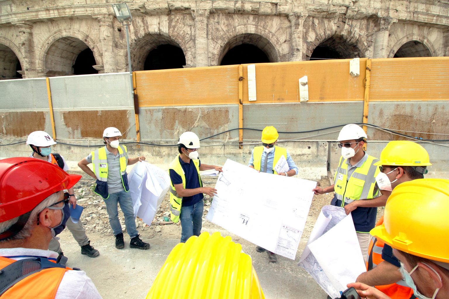
The archaeological excavation of Well 3.3, located in the gardens of Via Sannio, was carried out by archaeologists appointed by Metro C ScpA under the scientific direction of the Special Superintendency for the Colosseum, the National Roman Museum, and the Central Archaeological Area of Rome. This excavation has provided new and significant data for reconstructing the topography of the area, especially related to the earliest phases, which are challenging to document through surface testing due to the depth of the evidence and the presence of the water table. It has significantly expanded our knowledge of the occupation and utilization of the area from prehistoric times. In Roman times, the area was delimited by two roadways, one exiting from Porta Asinaria (via Asinaria) and the other from a posterula (a small hidden access gate in the walls) located to the west (possibly via Tuscolana). It was intersected by the ditch known as Acqua Mariana since the medieval period. On the Lateran hill, two domus from the late 1st to 2nd centuries are known, documented in the area of the basilica and demolished during the Severan period for the construction of the castra ova equitum singularium, a barracks dismantled by Constantine for the construction of the basilica dedicated to the Savior.
The construction of a retaining wall in opus listatum with a NE-SW orientation, approximately 0.60 meters wide and identified for a length of about 62 meters, can be attributed to the time of Septimius Severus. The structure, flanked on the southeast by a masonry channel, seems to serve as a retaining wall with a height difference of about 1.50 meters between the ground level upstream (towards the walls) and the walkway downstream (towards Sannio). The construction of the wall in opus listatum is preceded by a sequence of garden levels dating from the late Flavian period to the Antonine period. The oldest level is characterized by the presence of a trench that crosses the entire excavation area, filled with three rows of nearly 300 perforated amphorae. The “garden of amphorae” obliterates the structures related to a portico, for which at least three phases of use have been identified between the mid-1st century AD and the Flavian period. Inside the well, the anthropized soil, documented to a total depth of 16 meters, dates from the Republican era to the contemporary era.
The first 4.50 meters of the excavation can be attributed to the 20th century and are associated with the construction of the Appio-Tuscolano neighborhood. Below this layer, there are strata dating from the second half of the 17th to the 19th century, linked to the agricultural use of the area outside the Aurelian Walls (thickness: about 2.50 meters). Between the 7th and the 16th century, no construction activities are documented in the construction area. During this period, the existence of a ditch named “Acqua Mariana” is known, with the first record dating back to the pontificate of Callistus II (1119-1124). This watercourse existed even in a prehistoric phase.
For the earlier period, it has been possible to uncover the NW bank of the prehistoric-era ditch and two tufa block walls from the early 3rd century BC.
An interesting finding relates to the construction of a collection basin in the second half of the 3rd century AD, adjacent to the river. This arrangement is related to what was documented in the excavation of the San Giovanni station.
Surface Arrangement of the Area
The project for the surface arrangement of the area affected by the construction of Well 3.3, commonly known as the “gardens of Via Sannio,” was developed by Metro C ScpA in close collaboration with the Special Superintendency for Archaeological Heritage, Fine Arts, and Landscape of Rome, incorporating its recommendations.
In particular, the Superintendency deemed that the arrangement of the well area, which will return to its original purpose as a public garden, should serve as an opportunity to showcase some of the discoveries made during the excavations. Therefore, they requested that the ground layout of the wall structures and the traces of the river be reproduced without reconstructions, using materials suitable for a public park arrangement.
Regarding the plant design project for the area, the Superintendency also requested that the selection of tree species be based on the paleobotanical data revealed during the excavations. These data highlighted the presence of characteristic tree and shrub species in ancient times, such as cypress, plane tree, hornbeam, rosemary, cherry laurel, and so on.
Furthermore, the Superintendency requested the avoidance of planting in the area between the garden and the walls to allow for an unobstructed view of the walls themselves. They also asked for the inclusion of an educational panel containing information about the investigated archaeological subsoil, with particular emphasis on the portico phase.