The tunnels of Rome’s Metro Line C, located between San Giovanni Station and the multifunctional shaft 3.3 on Via Sannio (the shaft from which the tunnel excavation began with the two TBMs heading towards the Fori Imperiali station), are currently under construction, for both tracks, using a traditional widening excavation method, after the passage of the small diameter shielded drill, about 3000 mm in diameter (micro-TBM). The use of this type of excavation, for a stretch of about 150 m, was necessary given the impossibility of underpassing the existing Line A San Giovanni Station by excavating continuously with the TBMs, together with the impossibility of performing consolidations from the ground level, due to the presence of important archaeological layers.
Geological, geotechnical, and hydrogeological context
The formations present in the subsurface of the area under examination represent a transition phase from the volcanic soils of the eastern outskirts of Rome to those of the historic centre, which characterize the paleo-bed of the Tiber. Starting from the ground level, the stratigraphic succession includes a first level of recent deposits [R], with a thickness reaching 13 – 16 meters. This is followed by a layer of recent alluvial deposits [LSO] lying on the succession of units that make up the Pleistocene deposits, characterised in the upper portion by sandy silty clays [AR], and by sands and gravels [SG] below. This last lithotype lies directly on the Pliocene formation of blue clays [APL], which the surveys identified at a depth of about 44 meters from the ground level. The data collected revealed a relatively complex piezometric system, in agreement with the stratigraphic situation, with a water table level set at about 8-10 meters from the ground level.
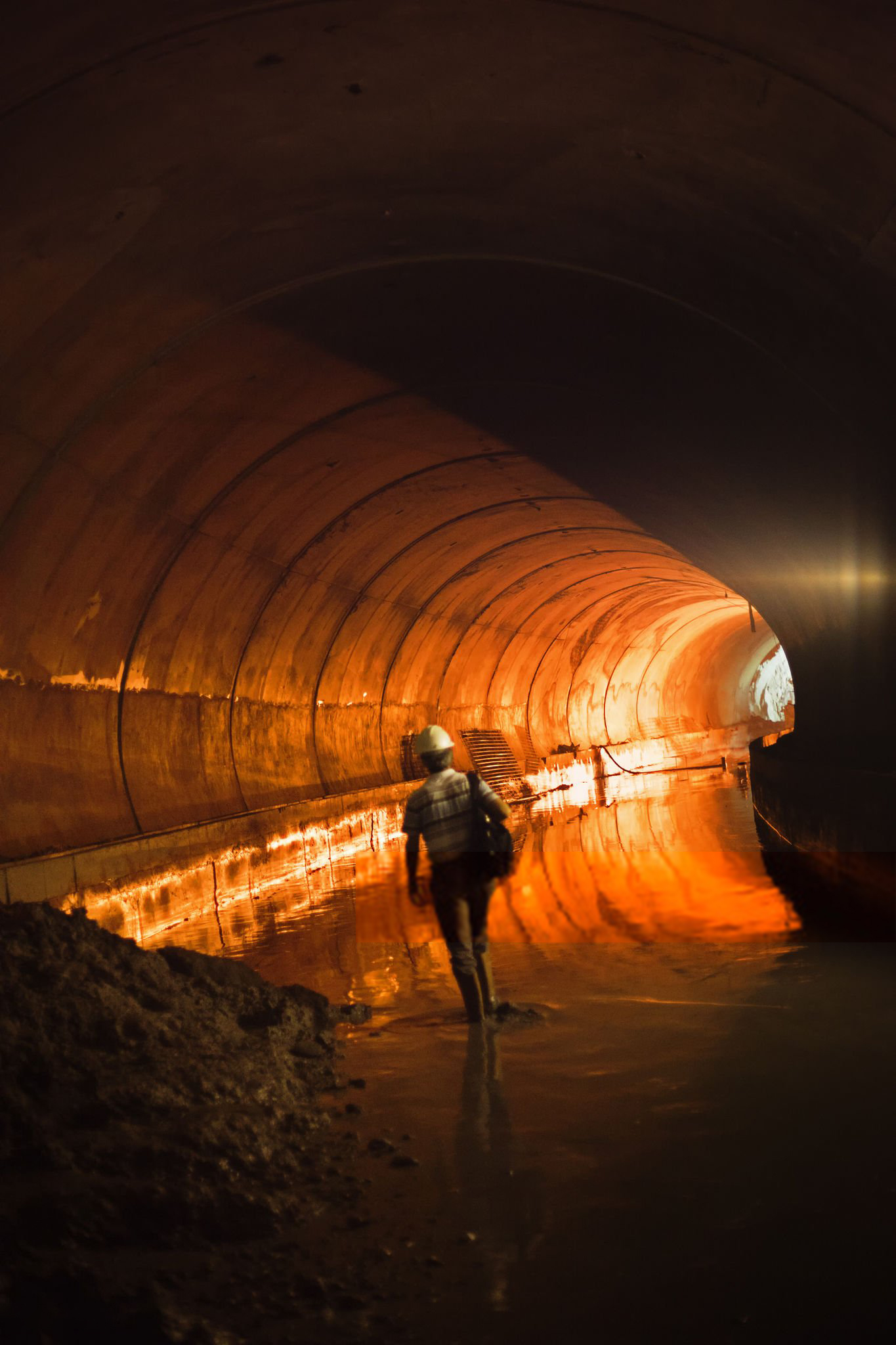
Microtunnel excavation
To ensure the commissioning of San Giovanni Station before the complete construction and subsequent commissioning of the Multifunctional Shaft 3.3, the excavation of the microtunnel was fed from this shaft, through a thrust structure constrained to a temporary reinforced concrete slab. The microtunneller is a remotely controlled shield equipped with a rotating cutter that breaks down the material during advancement. The cutting head allows the entry of crushed material during advancement, so that it can then be removed through a closed circuit with water or water and bentonite circulation. The advancement of the microtunneller occurs through the laying of reinforced concrete pipes that constitute the definitive lining of the tunnel. The stretch under examination is characterised by a planimetric layout with a radius of curvature of about 200 m on both tracks. The microtunnel excavation began on the odd track on January 20, 2017 and ended on February 15, 2017, while for the even track it began on March 13, 2017 and ended on March 31, 2017, with an average production of 4 rings/day and a maximum of 6 rings/day, and a precise order of a centimeter between the theoretical plan-altimetric layout and the one measured in situ.
Soil consolidation phase
Once the microtunnel excavation operation was completed, a series of test fields were carried out along the entire development of the work, in order to test the injection mixtures and verify the effectiveness of the consolidation intervention.
The treatment of soil consolidation and waterproofing located at the edge of the excavation section of the line tunnels was effected with a radial geometry, characterised by 20 drillings and injections of average length 6 m each at a longitudinal step of about 60 cm, for a total of about 75 km of drillings. These consolidations were carried out with several phases of injection of cementitious, micro-cementitious and chemical mixtures, validated by the test fields.
Traditional excavation phase
Once the phase of soil consolidation from the microtunnel was concluded, the traditional widening operation began. The geometry of the tunnel envisaged a transverse excavation section of about 50 m2 and a length of about 150 m for each track. The successive realisations of the tunnels followed the following phases:
- execution of underpinning at the edge of the excavation section for a length of 12 m;
- excavation of the first field for a length of about 8 m for subsequent advances of about 1 m with the simultaneous laying of the temporary lining consisting of ribs and sprayed concrete;
- construction of the side walls;
- execution of underpinning at the edge of the excavation section of the next field;
- excavation of the second field for a length of about 8 m for subsequent advances of about 1 m with the simultaneous laying of the temporary lining consisting of ribs and sprayed concrete;
- excavation and construction of the reverse arch in correspondence to the previous field.
The phases described are repeated with the same sequence for the 17 excavation fields created for each track, while the casting of the vault was carried out, always for fields of 8 m, starting from the fifth excavation field.
Evaluation of subsidence and monitoring system
Given the particular characteristics of the urban area affected by the works and given the complexity of the works themselves, a detailed study was necessary to evaluate the subsidence at the ground level and in particular to evaluate the effects induced on the Aurelian walls at Porta Asinaria and on the buildings falling within the subsidence basin. The results of the study of the subsidence induced by the operations of excavation of the traditional tunnels, highlighted the need to carry out work to protect Porta Asinaria. This consisted of a wall of adjacent piles of about 60 m, necessary in order to dampen the subsidence basin induced by the excavation of the odd track tunnel.
The geotechnical, structural, and topographic monitoring is certainly a fundamental element for the realisation of a complex work in a unique urban context like the area of Porta Asinaria.
The general objective of the monitoring system is to control the actual evolution of the physical phenomena triggered by the excavation of the tunnels by measuring, distributed in space and time, some characteristic quantities. The purpose of the measurements made is to verify the correspondence of the real behaviour of the soil – the works under construction and the pre-existing works – with the behaviour hypothesised in the design stage, as well as to verify that, in every phase of the works, there are no unforeseen situations of risk for people or things and to evaluate the possible need for corrective actions in the methods of carrying out the works.
7 monitoring sections were carried out at the ground level, aimed at studying the deformations of the soil mass around the tunnels, the groundwater level, as well as the deformations of the linings. Along the development of the Aurelian walls interacting with the tunnel excavation, the following were installed for the continuous monitoring of the monument:
- 26 levelling brackets
- 102 miniprisms
- 10 electric wall clinometers
- 9 electric joint measurers
- 7 accelerometers
- 2 wire extensometers
in addition to 4 settimeters and 2 electric piezometers to verify the behaviour of the soil mass below the bottom level.